

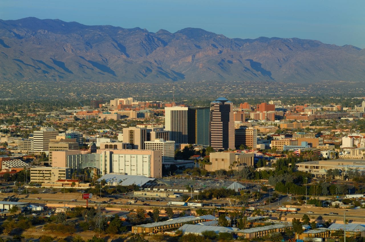
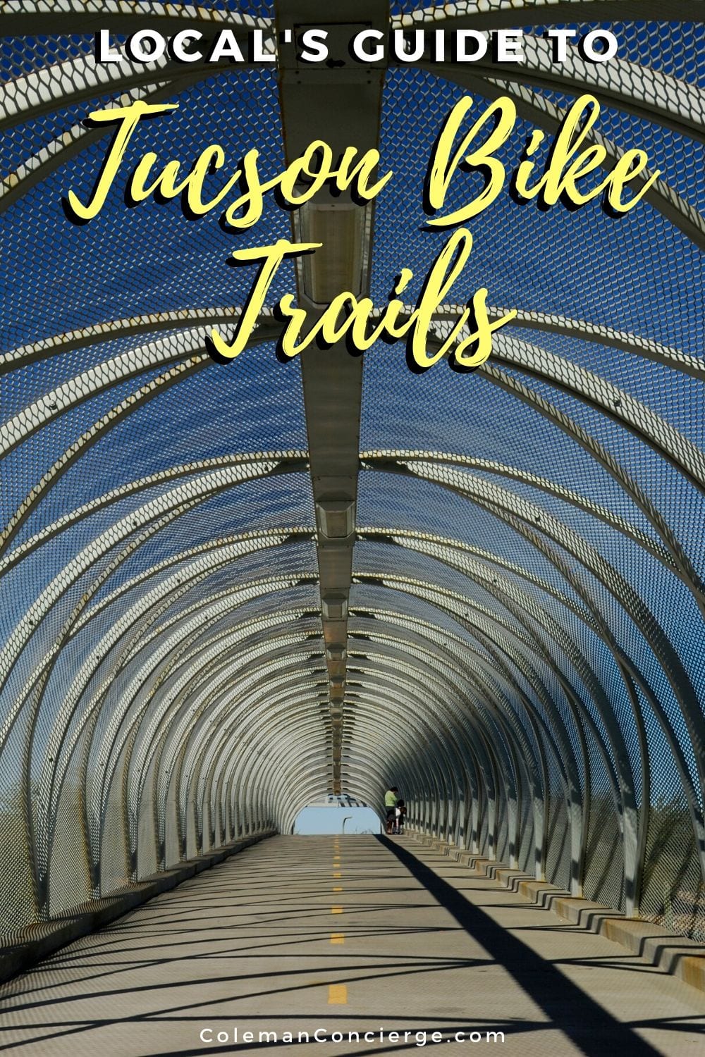
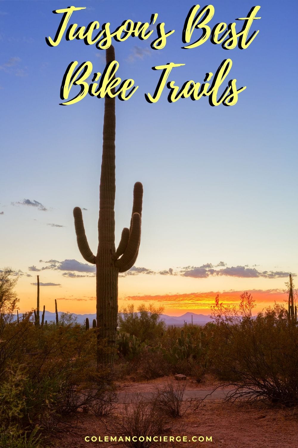
Tucson bike trails offer more than beautiful weather and epic scenery. The city’s terrific cycling infrastructure features over 150 miles of paved bike trails. The Loop, in particular, is a 56-mile bike path that encircles the city and connecting the vibrant cultures of one of the oldest continually inhabited places in North America.
In presenting biking in Tucson, I created three personas for cyclists:
- Trail Rider: looking to ride for an hour or two on Tucson bike paths
- Road Rider: looking for Tucson cycling up to 50 miles and is comfortable riding with cars and climbing hills.
- Mountain Biker: looking for Tucson mountain biking off the pavement on single-track.
I wrote this trail guide for the casual, recreational Trail Rider. First, I’ll introduce the entire trail with my ranking, the one-way distance, and the start and stop points. Next, I’ll give the ride description, so you have a flavor of the bike path. Then, I’ll highlight my favorite ride segment along with the best things to see, do, and eat along the way in the “make a day of it” section. Read on to plan your own cycling adventure on Tucson’s bike trails.
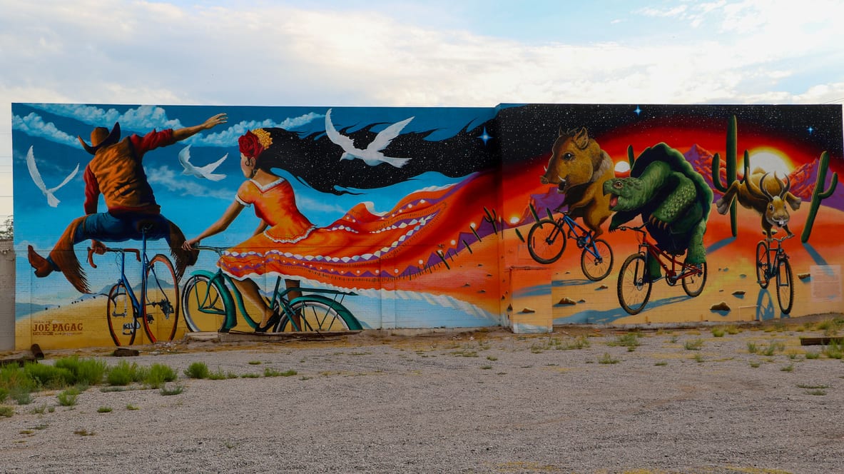
Table of Contents
Chuck Huckelberry Loop (aka the Tucson bike loop)
- Rating: ★★★★★
- Length: 53.9 miles (one full loop)
- Start: N/A (it’s a loop)
- Stop: N/A (it’s a loop)
Ride Description: The crown jewel of Tucson bike trails is the 120-mile Chuck Huckelberry Loop, a system of paved, shared-use paths and short segments of buffered bike lanes connecting the Rillito, Santa Cruz, and Pantano River Parks with the Julian Wash and Harrison Road Greenways.
The complete Tucson bike loop is 53.9 miles, with side trails extending for another 60+ more miles.
The casual rider will be saying, “No way I’m riding 54-miles.” Don’t worry. We’ll cover the best of the segments next. There’s just no way we could talk about bike trails in Tucson and not include The Loop as a continual circuit. By the way, ‘Loop de Loop’ is a thing.
Make a Day of It: If you’re on a 54-mile ride, there isn’t a lot of time for dilly-dallying. However, The Loop is more than a bike ride. There are so many art installations along the bike path that it’s an open space gallery. There are over 50 pieces of art situated around The Loop.
You can’t stop every mile, but you can check the art map and pick your favorites along the way.
Pro tip: Download AllTrails+ for a one-stop shop app for planning all of your hiking, biking, and camping adventures.
Tucson Bike Trail Map
Rillito River Park
- Rating: ★★★★☆
- Length: 11.9 miles (one-way)
- Start: Santa Cruz River
- Stop: Craycroft Road (Pantano River Park)
Ride Description: The Rillito River Trail is my favorite segment of The Loop. This trail is where my wife, Jenn, and I went on our first real date, and she introduced me to her women’s specific hybrid. From that day forward, I loved biking in the expansive mesquite groves that span large sections of the trail and popping into the stores along the way.
Even in the heat of the summer, the shade and shops make the Rillito River Trail perfect for a late morning ride. In general, I prefer riding on the north side of the river through a succession of small parks and large mesquites. However, both trail junctions are on the south bank.
Make a Day of It: Come on Saturday morning to combine your ride with the St Philips Plaza farmer’s market. Park at the plaza and head east to the end of the trail at Craycroft. On the way back, cross over at the Tucson Racquet and Fitness Club to the south bank for a change of scenery.
Be sure to bring your bike lock to pop into Trader Joe’s some wine tasting. Cross back over at the Rillito River Gateway pedestrian bridge across from the Rillito Racetrack and return to St Philips Plaza to explore the market. This 10.8-mile round trip ride allows you to see the best of both banks with a little snacking along the way.
Santa Cruz River Park
- Rating: ★★★★☆
- Length: 24.5 miles one way
- Start: Valencia Road
- Stop: Avra Valley
Ride Description: Even though it’s mostly dry today, the Santa Cruz River was the lifeblood of Tucson. You’ll still find historic old parks, and even some surface water if you know where to look. Christopher Columbus Park features Silverbell Lake, the largest of three urban lakes in Tucson, and a little north of Ina at Crossroads at Silverbell District Park. It is one of the rare, free-flowing sections of the Santa Cruz River.
Make a Day of It: Start at Mercado San Augustine, Tucson’s first and only public market for breakfast at Presta Coffee Roasters. When you are ready to ride, take the west bank north to the Gardens of Gethsemane, which is a concrete-statue tribute to Jesus’ last days.
Next, you reach the Santa Cruz River Disc Golf Course, Tucson’s finest Frisbee flinging. Keep going till you reach Silverbell Lake. If you’re a desert rat, you’ll want to pull off the trail to get a view of the lake. Take the same route back, stopping by the Quick Trip on Grant for their superb slushie selection. This ride is approximately a 13-miles in total.
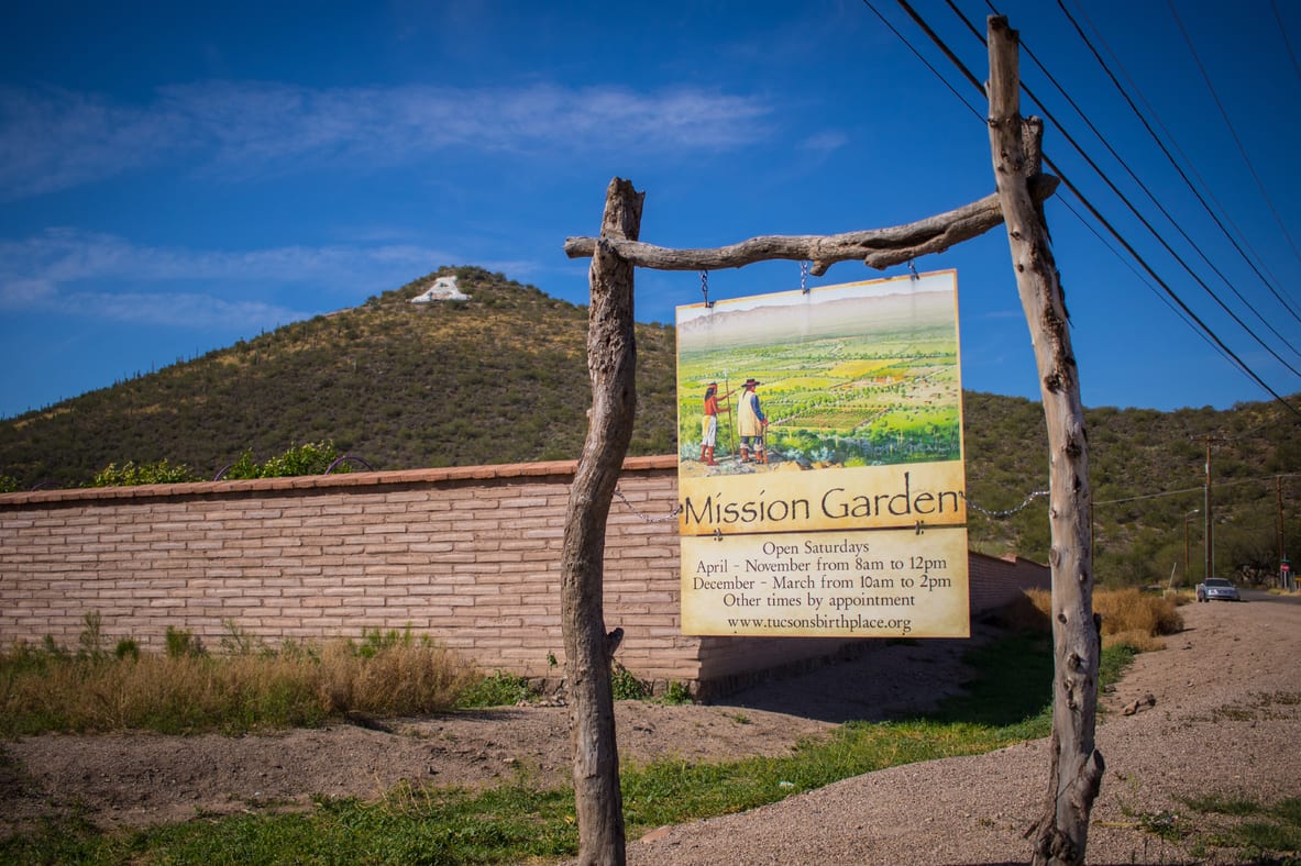
If you’re still in the mood to explore, you can check out the nearby interpretive displays at Mission Garden. They tell the story of Hohokam farmers who have cultivated the Santa Cruz River flood plains for 4000 years. You can also hop on the streetcar into downtown or ride up Sentinel Peak, aka. A-Mountain for city views.
If you want a full day of riding, add in my suggested ride for Julian Wash and pick up some South Tucson Mexican food for lunch.
Pro-Tip- Climbing A-Mountain is better before breakfast with fewer cars and less heat.
Julian Wash Greenway
- Rating: ★★★☆☆
- Length: 14.7 miles (one way)
- Start: Santa Cruz River Park
- Stop: Harrison Greenway
Ride Description: The Julian Wash Trail travels through South Tucson. I’ve always said that you can tell a lot about a Tucsonan by how they view Tucson Sur.
Some people from the Foothills see South Tucson as some sort of a demilitarized zone you have to pass through to reach Raytheon or the airport or someplace you only enter during daylight hours to buy piñatas or used tires, or to watch the Rodeo Parade. I always felt that South Tucson was a cultural gem.
Where South Tucson shines is with its proud cultural roots. UNESCO designated Tucson America’s only City of Gastronomy because of its mixture of Indigenous and Mexican food. There’s no better place to find this than South Tucson, and the artwork around the Julian Wash Greenway reflects South Tucson’s Mexican and Indigenous cultures as well.
Make a Day of It: You might guess that biking along Julian Wash will take you to authentic Mexican food. Every insider has their favorite hole in the wall, but you can’t go wrong with Tacos Apson, which is just off the Julian Wash Trail. They make a mean Sonoran Dog loaded with beans, bacon, and pico de gallo, and a kicking carne asada.
I would start at Mercado San Agustin and ride down to Tacos Apson. This route will pass the artwork at Julian Wash Cultural History Walk Ramada and Carmelin Castro Ítom Úsim Children’s Park along the way. You have to cross over to the east bank of the Santa Cruz at Starr Pass, but once you’re on the east bank, the trails just flow together.
This entire ride is only 7.4 miles out and back, but you can add in rides along the Santa Cruz River for a full day of riding.

Harrison Greenway
- Rating: ★★★☆☆
- Length: 6.4 miles (one way)
- Start: Julian Wash Greenway
- Stop: Sellarole Street
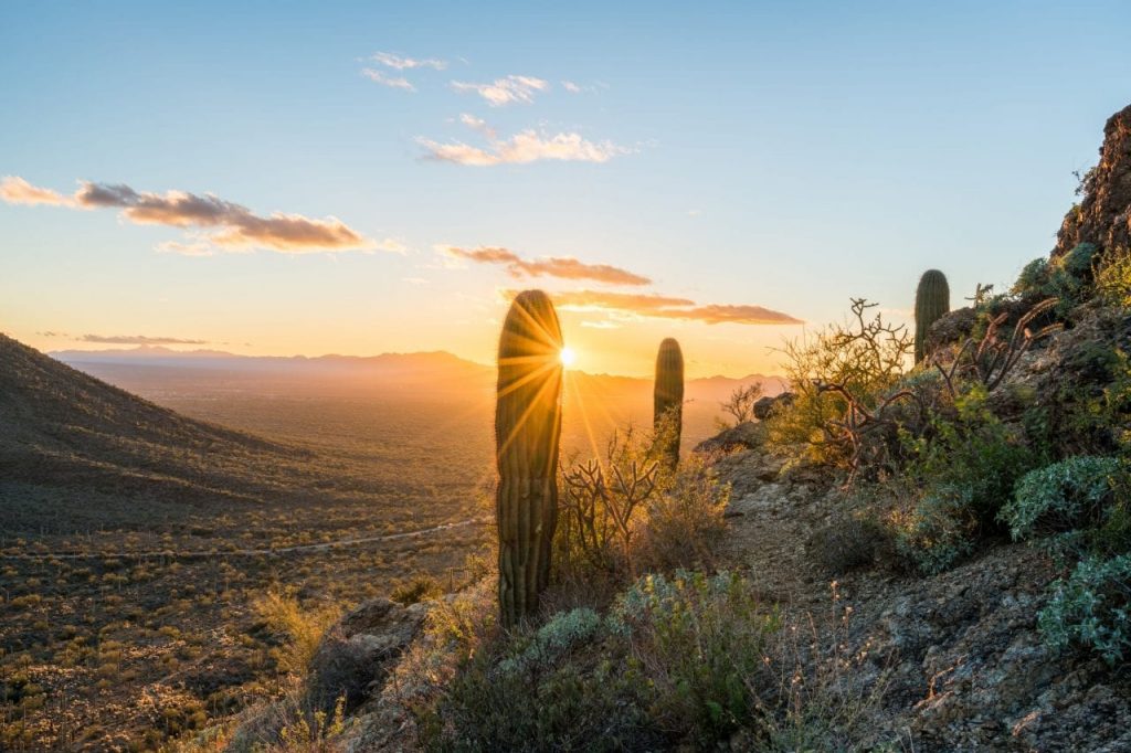
Ride Description: The Harrison Greenway is the only Loop segment that doesn’t follow a river or wash. That means you’ll ride among relatively undisturbed Sonoran Desert landscapes, including a few towering saguaro cacti. Saguaros are the equivalent of an old-growth forest, with the first arms appearing after 75 years.
Years of cattle ranching has impacted the area a bit. However, the 3 miles that cross from Irvington to Valencia is still the most natural portion of The Loop. The other 3.4 miles of the Harrison Greenway is fulfilled through on-street connectors.
Make a Day of It: The greenway runs through Fantasy Island Mountain Bike Park, so it’s an excellent choice for mixed rider groups if one person wants to ride on a trail, while their partner takes on some mountain biking.
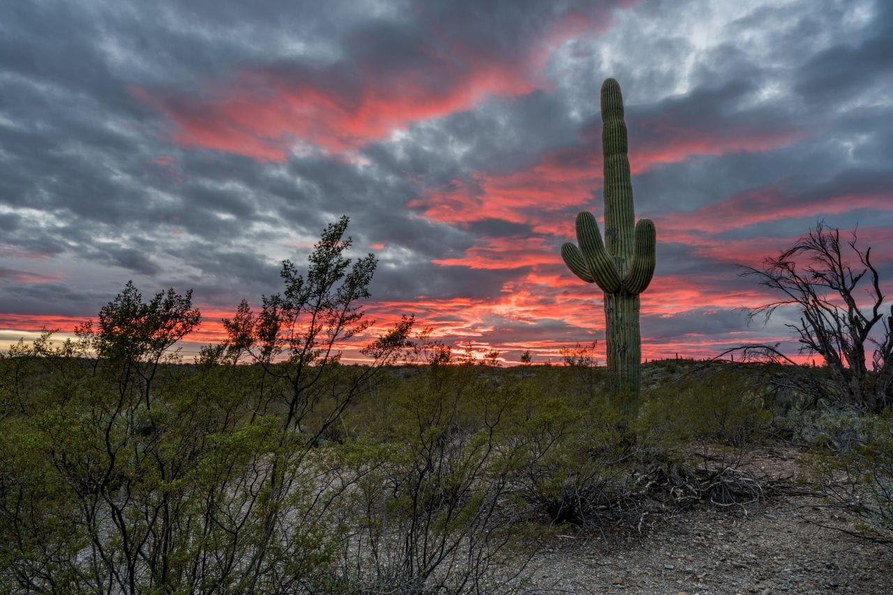
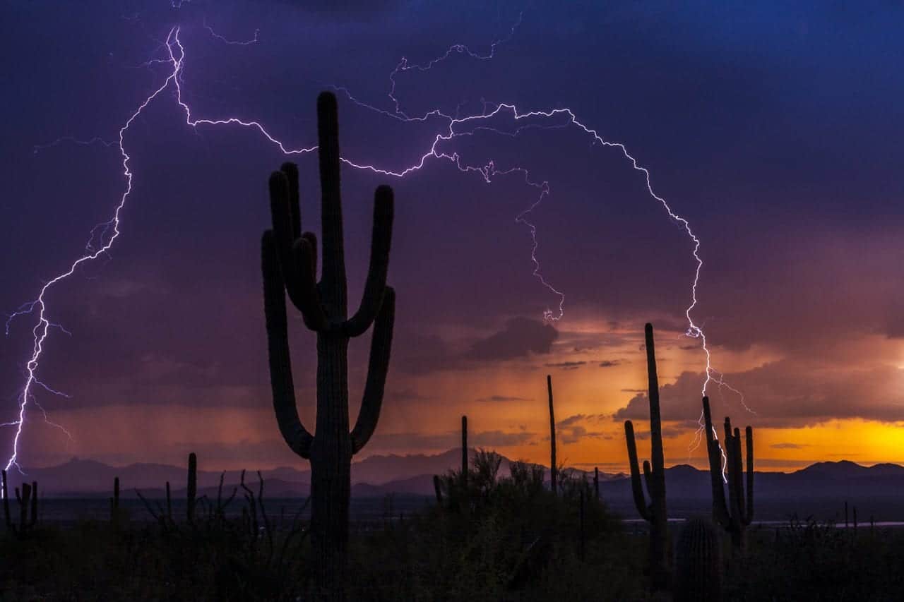
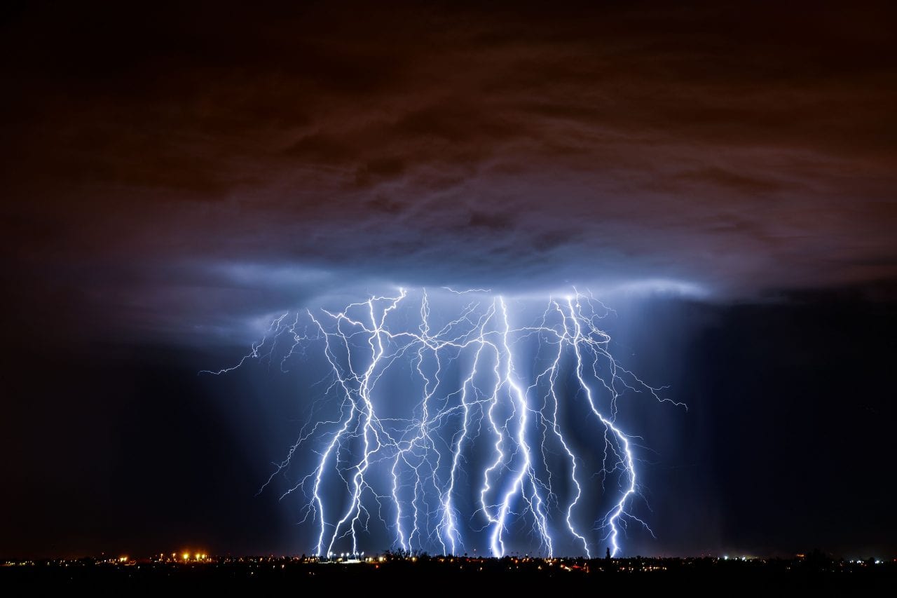
Ideally, you’ll be riding this segment at sunset during Monsoon Season. You’ll see the famous Tucson lighting shows flashing in the distance while the musky, earthy smell of creosote bushes fills the air. A perfect monsoon evening will have storms at the horizon, while still being perfectly dry where you’re standing.
After riding, head to McGraw’s Cantina to continue watching the storms and sunset.
Pantano River Park
- Rating: ★★★☆☆
- Length: 8.5 miles (one way)
- Start: Harrison Greenway
- Stop: Rillito River Park
Ride Description: The Pantano Wash Trail closes The Loop by connecting the Harrison Greenway to Rillito River Trail. It runs 8.5 miles through east Tucson, following its namesake wash, which is straight-up suburbia. Not the upscale suburbs of the foothills or cultural center of South Tucson, but slump block houses with bars on the windows, flat elastic seal roofs, and a lot of evaporative coolers.
Much like the Pantano River Trail, swamp coolers are a bit perfunctory, but get the job done. On the upside, it’s all dedicated bike trail.
Make a Day of It: Right about now, you might be wondering how this ride earned its third star. If it seems batty, you’re on to something.
The best time to ride the Pantano River Park is at dusk during the summer. Enter at Broadway and head north to the junction with Rillito River Park.
You’ll want to start on the east bank and cross over to the west bank at Tanque Verde, which gives you a chance to snap a picture at the Dinosaur McDonalds with its giant T-Rex statue.
It’s a 9-mile total ride that’s still a little underwhelming. The up marks come when you return to the Broadway Bridge at dusk to watch an enormous colony of 20,000 Mexican free-tailed bats take flight.
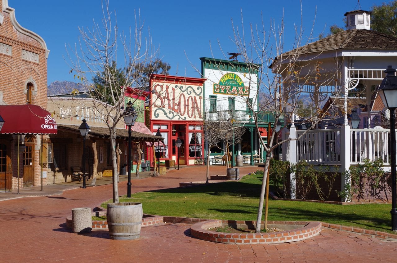
After the show, put on your worst tie and head to the wild west antics of Pinnacle Peak Steakhouse at Trail Dust Town for mesquite-grilled cowboy steak. It’s a bit like going to Tombstone with staged gunfights and a narrow-gauge railroad, without the drive. Your tie isn’t going to make it home because they have a strict no-tie policy, but it’s a hoot watching them enforce it.
Cañada del Oro River Park
- Rating: ★★★½☆
- Length: 10.9 miles (one way)
- Start: Santa Cruz River Park
- Stop: Tangerine
Ride Description: The scenery along the CDO wash gets better the farther north you go. Looking at the map, you might expect views of the Tucson National Golf Course, but you stay in the river channel and don’t even see a single blade of grass. You might see a golf cart or two crossing overhead, but that’s it.
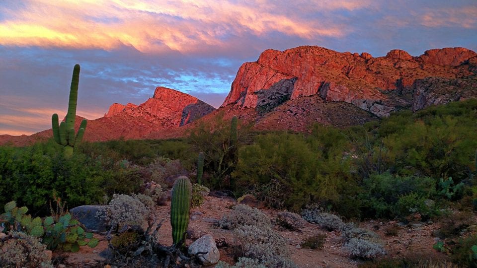
However, the views of the Catalina Mountains as you approach Catalina State Park are stunning. Plus, it’s a dedicated trail the whole way.
Make a Day of It: The jagged cliffs on this side of the Catalina Mountains are absolutely stunning. You have two ways to enjoy the northwest Tucson natural beauty. For a big day, head up early in the morning and hike to Romero pools. You should check with the ranger to see if they’ll allow you to bike in and out of the park with your regular park entrance since the park road is beautiful.
The ideal route is a 16-mile round trip ride from Catalina State Park to La Cholla. The downside of riding this way (pun intended) is that you’ll lose about 300′ of elevation, which you’ll have to climb at the end of your ride.
Alternatively, you park at La Cholla and ride up to Catalina State Park, deciding if you want to pay the entrance fee or not once you get there.
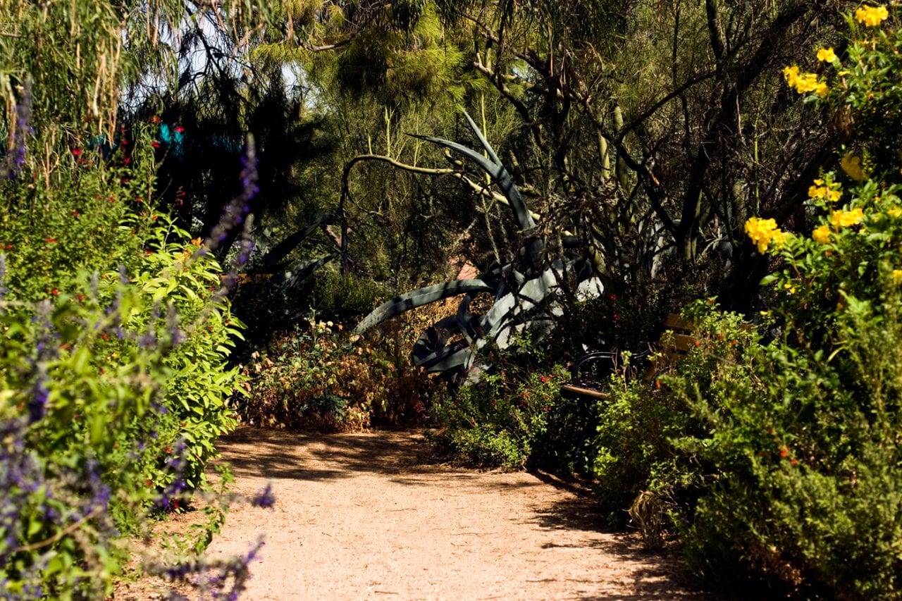
Another hidden gem of this area is Tohono Chul Park and the Garden Bistro. Walking the park is a fine alternative to hiking Romero Pool if you’re looking for something cooler and more mellow. The Bistro Garden has a terrific brunch as well as an outstanding Friday happy hour. It’s a great way to experience southwestern cuisine, especially their prickly pear lemonade, margaritas, and mimosas – after riding and a glass of water, of course.
Aviation Bikeway
- Rating: ★★★½☆
- Length: 6.3 miles (one way)
- Start: 4th Avenue
- Stop: Craycroft
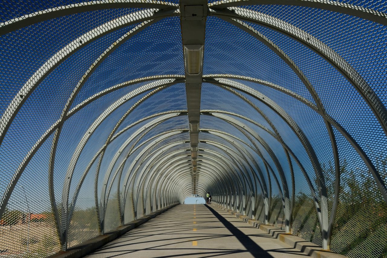
Ride Description: For some legislative reason I don’t understand, the Aviation Bikeway isn’t part of The Loop. It connects Tucson’s four major urban areas: Congress, 4th Avenue, University of Arizona, and Reid Park.
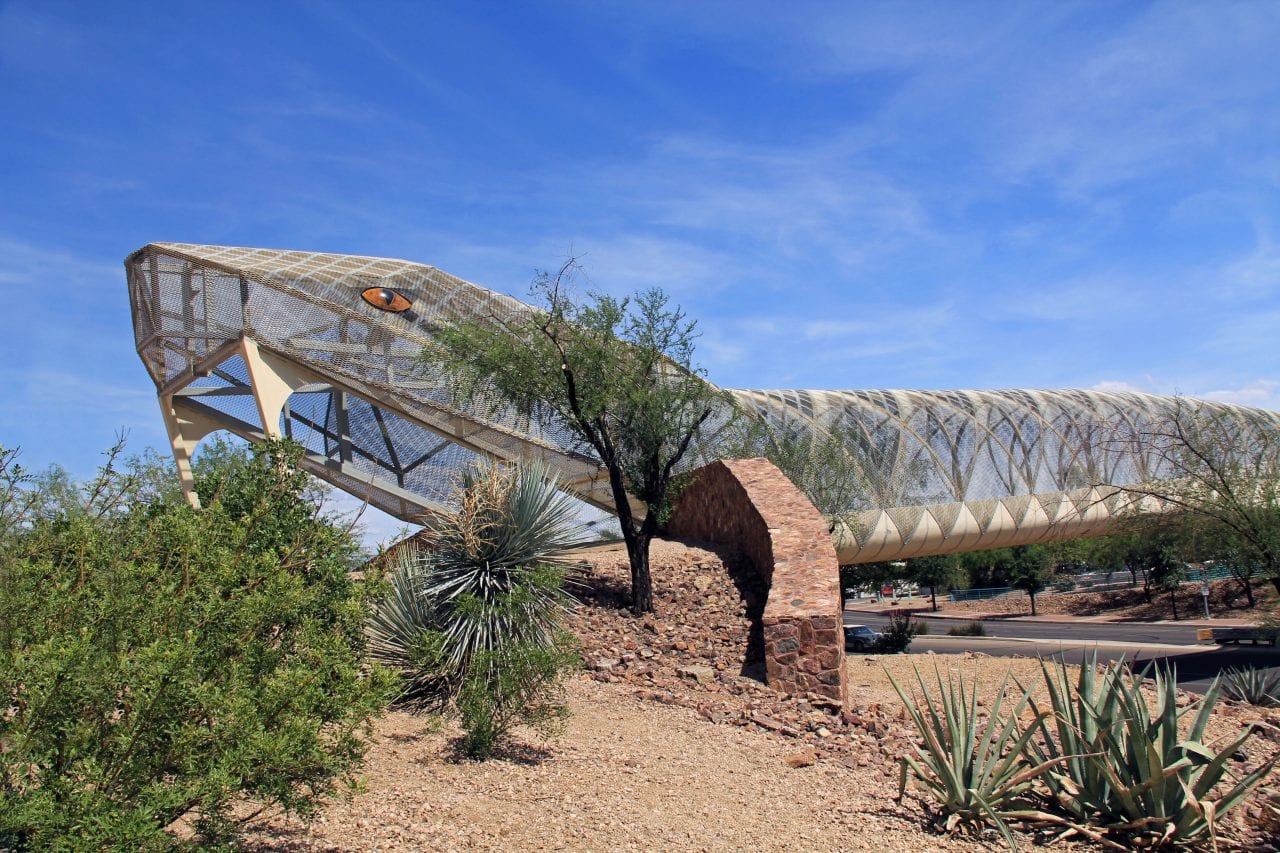
This bike trail also has the iconic Rattlesnake Bridge, where you bike into the snake’s mouth and out its tail. I have ridden this trail probably a hundred times and still can’t figure out what triggers the snake bridge to rattle. The ride itself is OK, but there’s plenty to do just off the trail.
Make a Day of It: If you arrive early, you should find street parking off 4th Avenue. From there, hop on the Aviation Bikeway and start riding. About 3 miles later, the trail ends on Aviation Road. Instead of picking the trail up again at the far end of Aviation, turn left onto Camilla and navigate to the Randolph Way entrance to Reid Park. There is even a bike path (David Bell) that runs the perimeter of the park.
It’s always interesting to take a lap around Reid Park and see what you can see. One day, I met a guy who spent three years researching the bible to build an exact replica of the Ark of the Covenant. He finally completed his passion project and decided to take it to the park and show it to people from the trunk of his car.
Another time in Reid Park, I came across a pigeon breeding convention with exotic pigeons of every description. Of course, I always loved seeing the ducks on the ponds. On the way back, be sure to stop at the Lost Barrio Gallery to view their outstanding collection of southwestern curios. The entire ride is approximately 9 miles, including the loop around Reid Park.
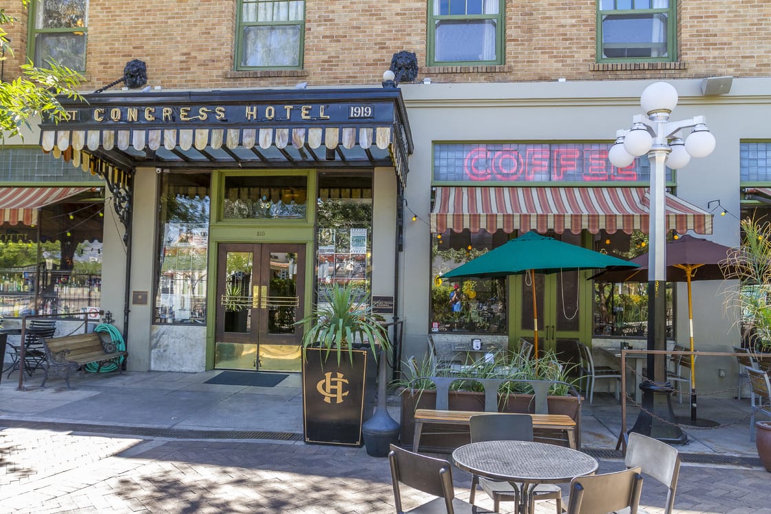
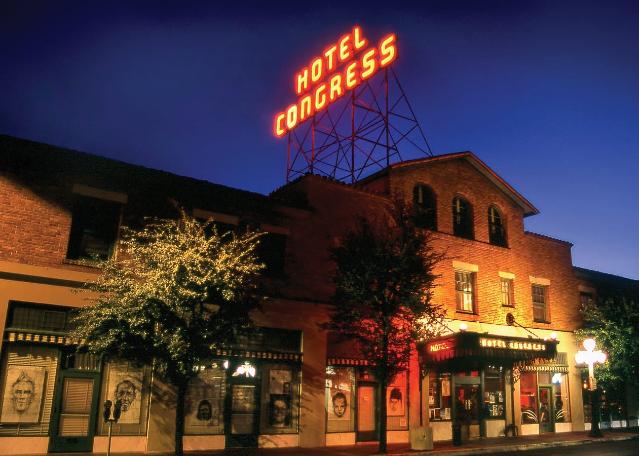
Once you return, you can explore the collegiate vibe of 4th Avenue or the hipster mecca of Congress. There are so many food and entertainment options here, I can hardly begin to list them.
You can even take a bike tour of the Tucson street art scene, but I would only attempt this on the weekend to avoid downtown traffic.
Tucson Bike Trails FAQs
How long is the Tucson bike trail?
The complete Tucson bike loop is 53.9 miles, with side trails extending for another 60+ more miles.
Is Tucson good for cycling?
Tucson is consistently ranked as one of the top cycling cities in the country.
Are Ebikes allowed on Tucson bike trails?
Electric bikes are allowed on The Tucson Loop!
Wrapping Up the Local’s Guide to Tucson Bike Trails
I hope you’ve enjoyed reading this guide as much as I enjoyed riding the Tucson bike trails. Between road biking, mountain biking, and bike trails, Tucson is an outstanding biking destination.
I can’t think of many other cities that boast a 50+ mile loop of bicycle trail. Even if you’re not planning on riding the entire Tucson bike loop, you can find plenty of cycling adventures to justify bringing your bike or renting one when you arrive.
A big thank you to Visit Tucson for allowing us to utilize their photo resources to help us complete this post 🙂
Remember to ride safely and read our bike disclaimer before you go
Places to Stay in Tucson
Ready to Book Your Trip? These Links Will Make It Easy:
Airfare:
- Find low fares and book your flight with Expedia, WayAway, CheapOair, or Trip.com
- Grab your airport parking reservation from The Parking Spot
- Stay overnight at an airport hotel and park for free with Park Sleep Fly
- Enjoy your time at the airport at a Priority Pass Lounge
Car Rental:
- Need to rent a car? Discover Cars will get you on the road without breaking the bank!
- If you are brand loyal, you can also book directly through Alamo Rent-A-Car or Thrifty Rent-A-Car
Lodging:
- We loved staying and the beautiful all-inclusive Sandals Royal Curacao and we think you will too! Book your Sandals getaway now!
- From hotels to private homes, find the perfect accommodation with Hotels.com, VRBO, Expedia, or Booking.com.
- You can also book direct through Hilton Hotels
Attractions/Activities:
- Save on tickets to attractions, sightseeing tours, and more with Tiqets
- Get Your Guide and Viator for guided tours/excursions, day trips, and activities
- Want to learn a city from the ground up? Take a small group walking tour with Walks – 5-star rated with a Tripadvisor Certificate of Excellence
- Want to book an epic adventure experience with top-notch companies like Intrepid Travel, G-Adventures, or Backroads? Check out Travelstride
- Find information on local trails with the All Trails App.
- Need something else to plan your perfect trip? Visit our Resources Page for more trusted partners
Like it? Pin it for later on Pinterest!


 Hi! We are Jenn and Ed Coleman, and together we are Coleman Concierge. It is our goal to inspire you to get out, expand your world, and to seek adventure, even in your own backyard.


2 Responses
WE Are visiting Tucson or a month in feb with our eGravel bikes, We are experienced riders.We understnd the NW Foot hills area. is a top choice for non-car-trafficed.routes. Can yo tell us where to get trail maps ?
THANKS.
I’m assuming you’re looking for forest service roads over mt biking areas. Trail Forks has a good interactive map (https://www.trailforks.com/trails/map/?activitytype=1&z=10.0&lat=32.48866&lon=-110.77391 ) with the roads shown in purple. There are a couple of caveats here. Most of the roads are open to vehicle traffic (or in the wilderness and closed to bikes) but you’re going to encounter a few high clearance / 4×4 type vehicles on recreational rides. Some of these roads are paved (like the Mt Lemmon Highway). That information is contained in the meta-data if you click in. The road up the backside of Mt Lemmon has a couple cars an hour going up it but the rest you’ll hardly see a car all day.
Another good place for a gravel ride is the Kentucky Camp area north of Sonoita off hwy-83 on the backside of the Santa Ritas. There’s some great camping out there off Gardner Canyon Road. My favorites spots are around the Cave Creek crossing, which is about as far as you can drive a passenger car.
Hope this helps