Hiking in Glacier National Park is an adventure that can change you forever. For me, seeing the rugged mountains and crystal blue alpine lakes convinced me to move to Whitefish Montana before all the glaciers melted. During my four years living in Whitefish as a ski instructor, I took every chance I could to go hiking and exploring in Glacier.
This article will introduce you to the nine best hikes in Glacier NP and what makes them my favorites. I’ll also pass on local trips and tips so you can make the most of your time in the park. I think Glacier is the most beautiful of all of America’s National Parks. Whether you agree or not, the hiking here is undeniably epic.
Table of Contents
Map of Hikes in Glacier National Park
Below is our interactive map of hikes in Glacier National Park. The trails, trailheads, and points of interest in this article are all included on the map. We use native Google pins wherever possible, many of which have an extensive photograph section if you click into them, along with user reviews and other useful information. So click around and plan your trip, or even download the map so you can have it with you on the trail. Just make sure you do this in town because cell reception is generally spotty at best in the park. If you don’t see the map below, be sure to refresh your browser
Hikes in The Glacier Hiking Guide
The table below shows all the trails from our Glacier hiking map. Each hike has distance and elevation marked, as well as a hyperlink to the trail description. This guide has four types of trails: out-and-back, out-and-back from another trail, loop, and point-to-point with a park shuttle available. Out-and-back are self-explanatory, and the distance indicated is the actual distance you’ll be hiking. Out-and-back from another trail will only list the additional mileage you’ll be hiking from the trail junction. Finally, point-to-point with park shuttle only lists the one-way hiking mileage, but you’ll have to catch the shuttle to return to your car.
| Trail | Type | Distance (miles) | Gain |
|---|---|---|---|
| Trail of the Cedars | Loop | 1 | flat |
| John's Lake Loop | Loop | 1.9 | 200' |
| McDonald Creek Trail(to Sacred Dancing Cascade) | Out-and-Back | 2 | 200' |
| Continental Divide Trail(to St Mary Falls and Virginia Falls) | Out-and-Back | ~3 | 500' |
| Saint Mary's Falls Trail(to Baring Creek Dock) | Out-and-Back | 1.5 | 350' |
| Hidden Lake Overlook | Out-and-Back | 2.9 | 575' |
| Hidden Lake Trail | Out-and-Back | 5.3 | 1,375' |
| Highline-Granite Park | Point-to-Point (Park Shuttle Available) | 11.4 | 1,475' |
| Highline Trail(to Granite Park Chalet) | Out-and-Back | 14.9 | 2,575' |
| Garden Wall Trail | Out-and-Back (to Highline Trail) | 1.6 | 900' |
| Avalanche Lake via Trail of the Cedars | Out-and-Back | 5.9 | 750' |
| Sperry Chalet Trail | Out-and-Back | 13.6 | 3,525' |
| Grinnell Glacier Trail | Out-and-Back | 11.2 | 2,175' |
| Iceberg Lake Trail | Out-and-Back | 9.3 | 1450' |
Trail of the Cedars (1-mile loop, flat)
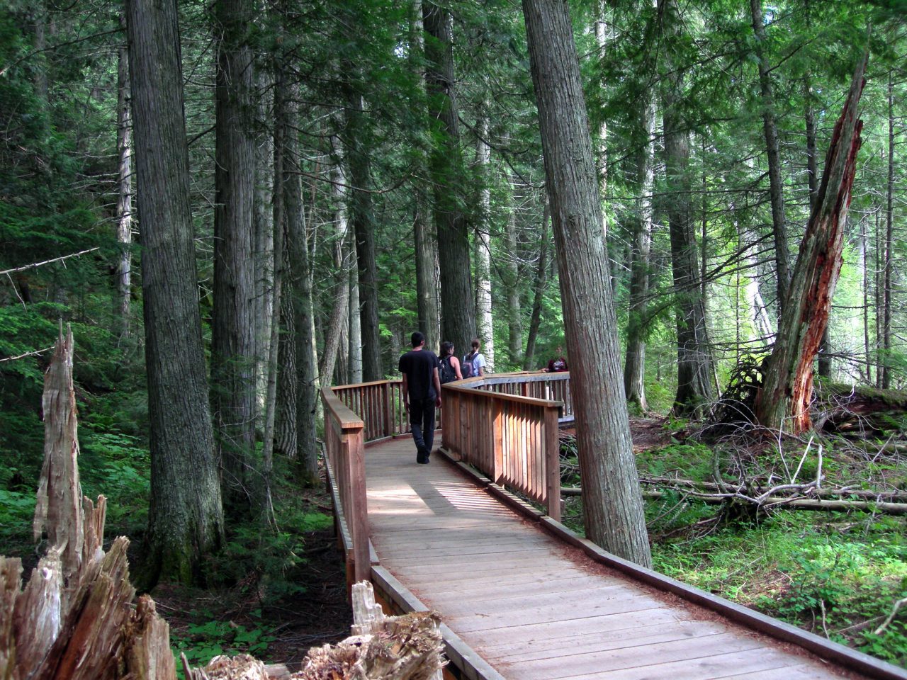
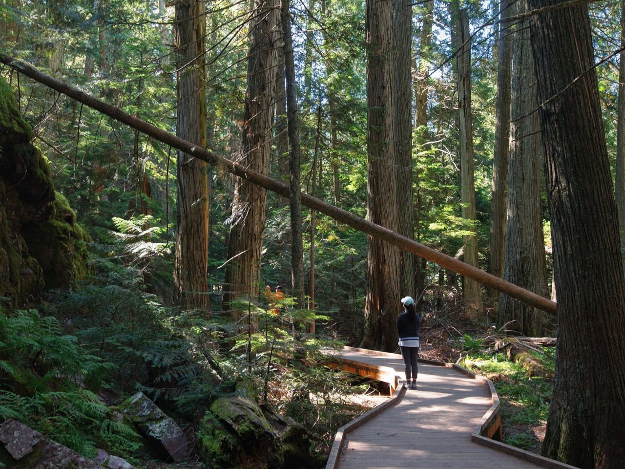
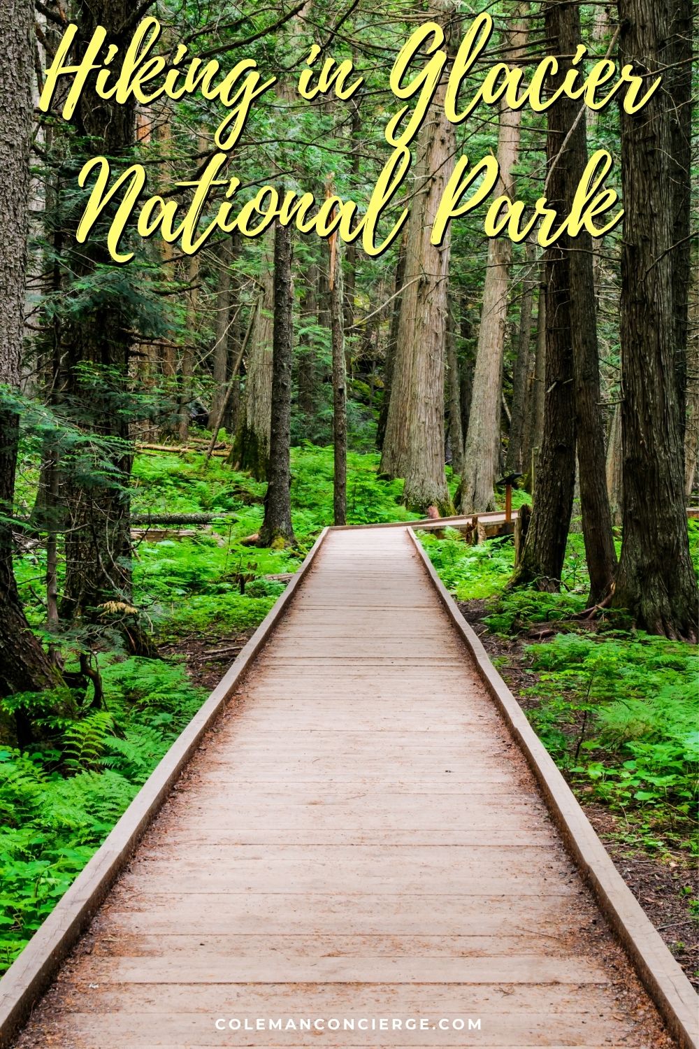
The only difficult part of hiking Trail of the Cedars is finding a parking space. It’s a one-mile loop on an ADA-approved boardwalk through a fragrant, old-growth red cedar forest. If your hiking party includes wheelchairs or strollers, this is the hike for you.
The trailhead is located just after the Avalanche Creek Picnic Area and just before the Going to the Sun Road starts climbing to Logan Pass. It’s a perfect staging area for a late spring bike ride up Logan Pass since the lower road is usually cleared of snow by early May.
There are probably more parking strategies than steps in this hike, but some of our favorites are here. First off, you can always take the park shuttle in, which works for almost every hike in this guide except the East Glacier trails. Your shuttle stop would be Avalanche Creek. You can also leave early in the morning, but it’s almost a shame to waste an early start on a 1-mile heavily shaded trail. Instead, I would head up the mountain in the morning and look for a parking spot on the way back.
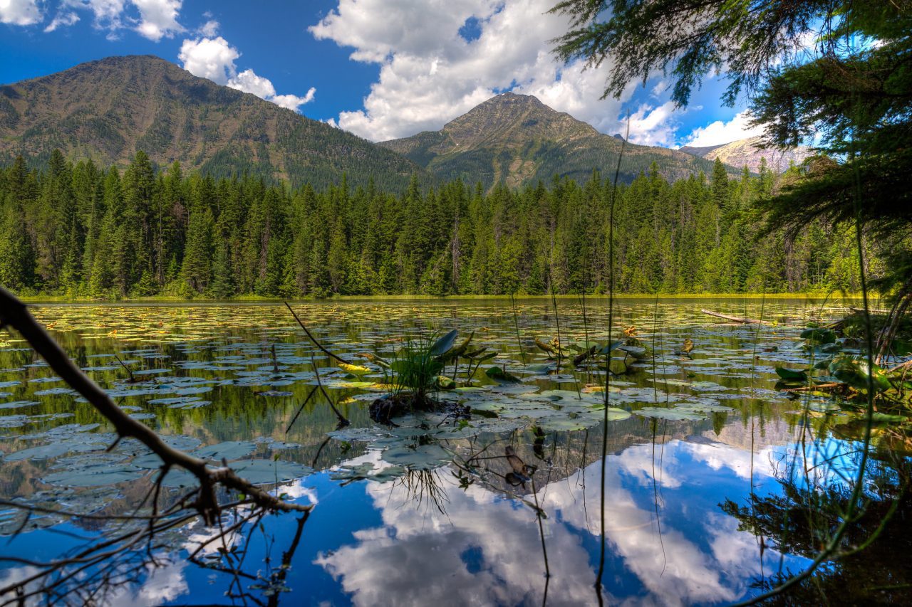
John’s Lake Loop (1.9 mile loop) / McDonald Creek Trail (2 mile out-and-back, 200′ gain)
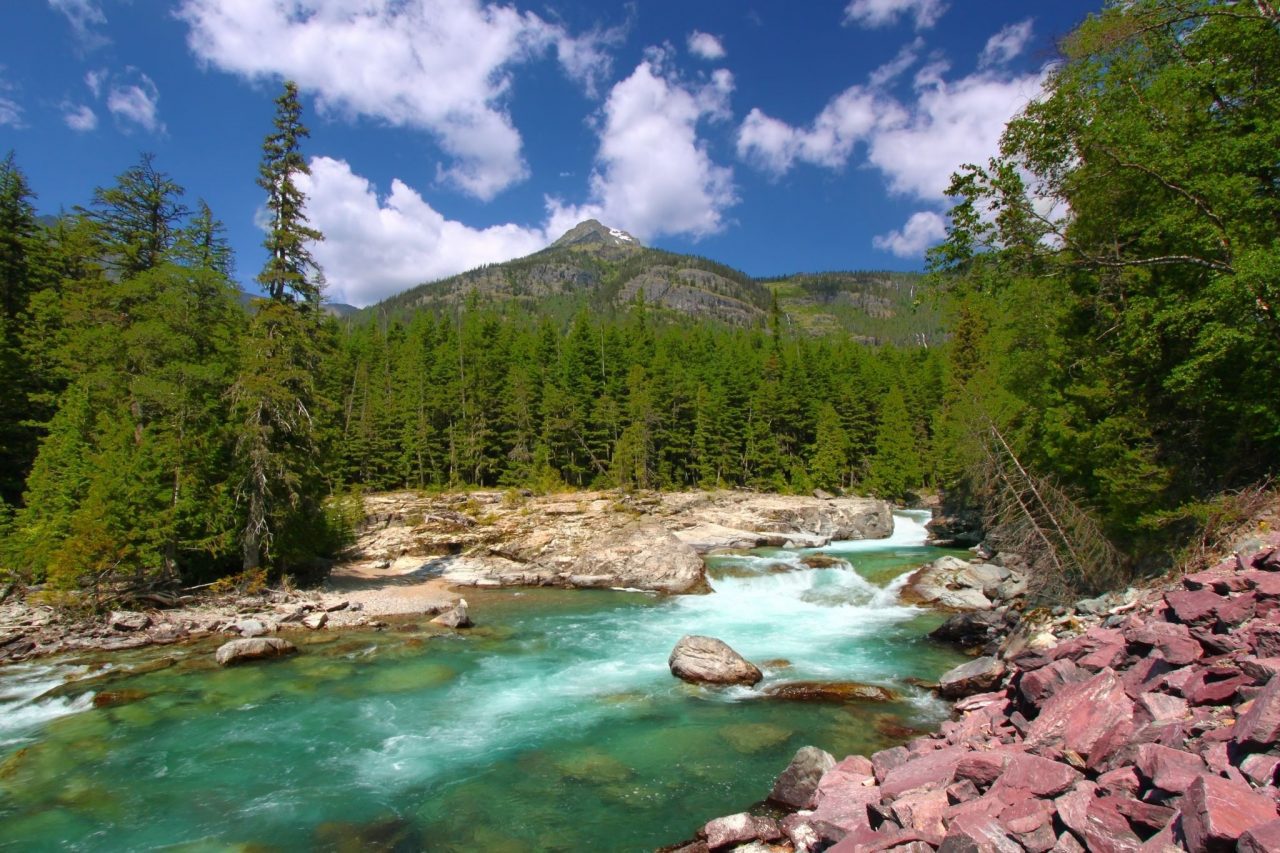
These are two of the most popular hikes in Glacier National Park, if for no other reason than they are short and easy. They are both located at the headwaters of Lake McDonald along McDonald Creek. They are arguably the easiest waterfall hikes in Glacier National Park.
In my opinion, of the two, John’s Lake Loop is better, and here’s why. First off, it’s a loop and not an out and back. Secondly, you see more waterfalls, plus John’s Lake and Lake McDonald. There was a time when the McDonald Creek Trail crossed back over the creek to the Going to the Sun Road. However, that bridge got washed out years ago. Now, I think the trail is best served as an out-and-back to Sacred Dancing Cascades, which are nice but not enough to anchor a hike. Besides, you can see them from the John’s Lake Loop Bridge or heading down from the McDonald Creek Parking Lot.
On the subject of the McDonald Creek Parking Lot, you should check for a parking space here every afternoon as you head down from the mountain. Pull in and take the 100′ hike down to the bridge for a photo-op with the waterfalls. You can’t beat the distance to eye-candy ratio. There are other, smaller lots shown on the map to access these trails, but they don’t give you the instant gratification of the McDonald Creek Parking Lot.
Continental Divide Trail to St Mary Falls and Virginia Falls (3-3.5 mile out-and-back, 500′ gain)
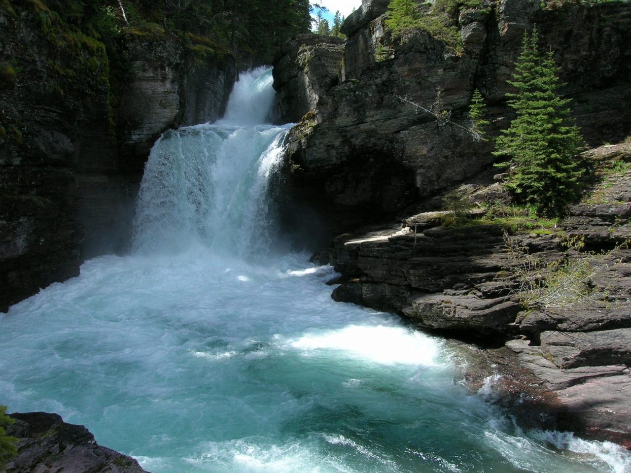
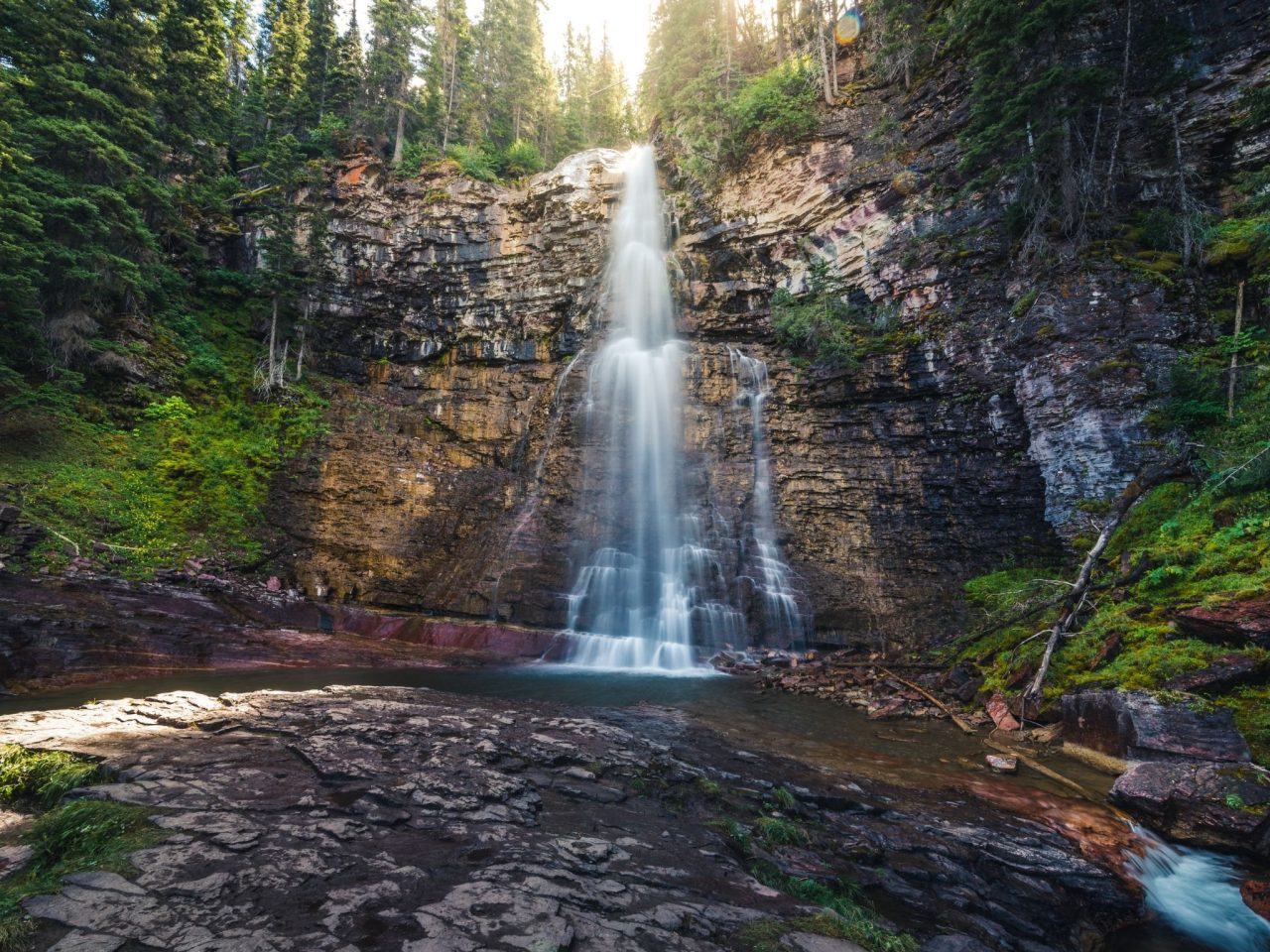
The Continental Divide Trail is a brutal, 50-mile back-country route from East Glacier to Two Medicine. It’s the sort of place where you go for training to through-hike the Pacific Crest Trail. However, a beautiful section crosses the Going to the Sun Road that’s short and scenic. It’s a 3-mile ish hike with about 500′ gain that grants you access to not one but two waterfalls. The three-tier St. Mary Falls drops roughly 35 feet in three separate tiers about a mile into the hike, and the Virginia Falls is a 50′ drop where I always turned around.
Two trailheads access this trail, the shuttle stop and the parking lot. It’s about a 3-miles round trip to Virginia Falls from the shuttle stop and 3.5 miles from the parking lot. The additional .5 miles might not be a lot to some people, but it could be significant compared to the overall trail length. If you don’t mind taking on extra miles, there’s a 1.5-mile out and back to the Baring Creek Dock with access to Lake St Mary’s you should consider.
Hidden Lake Trail (5.3 mile out-and-back, 1,374 gain)
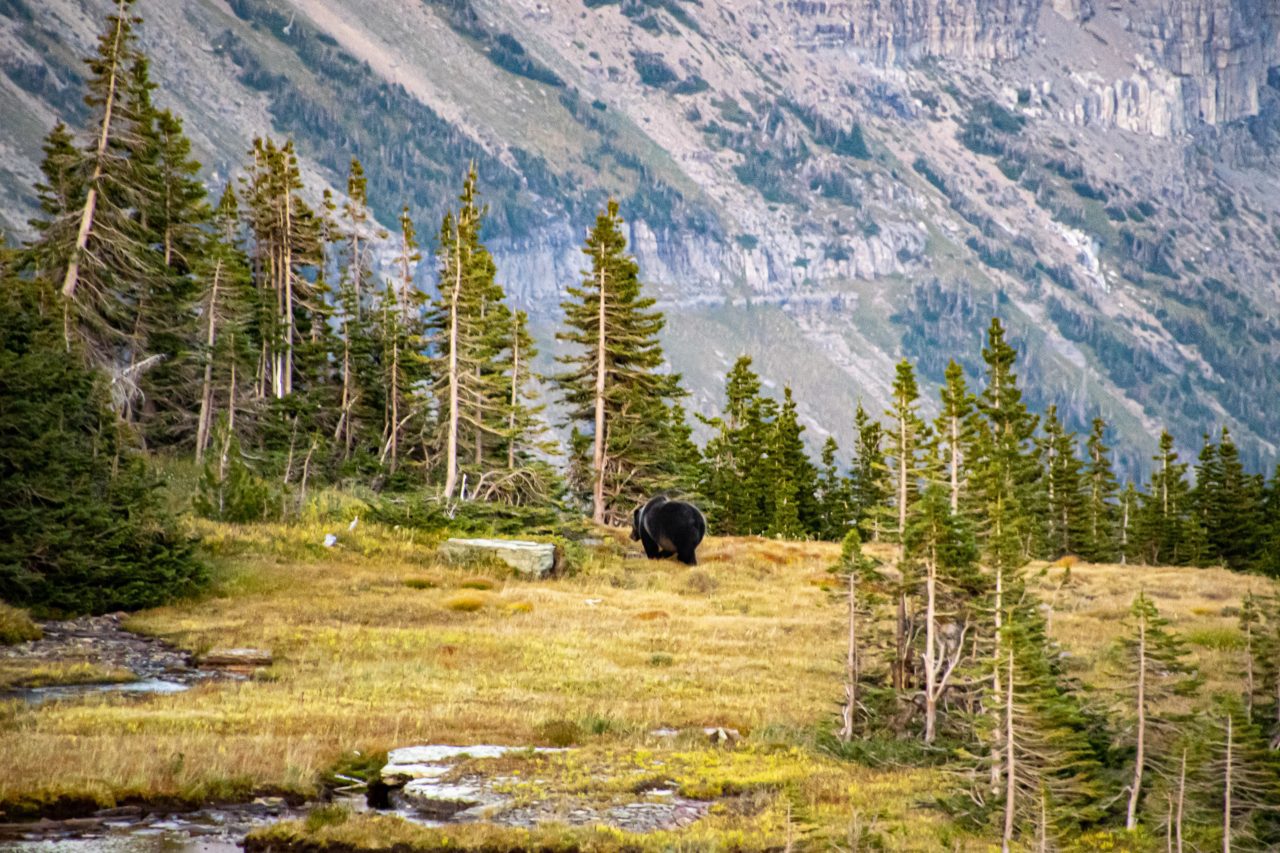
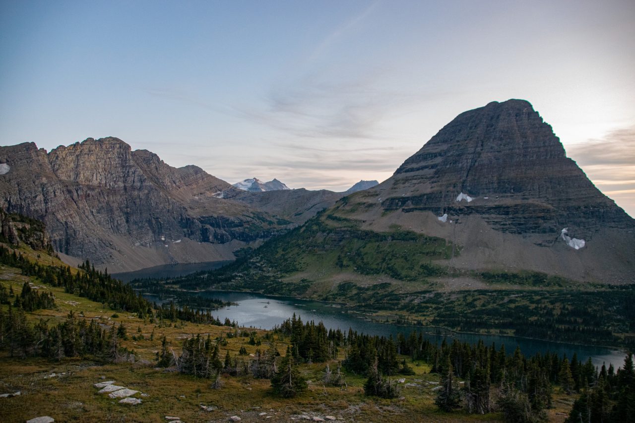
The Hidden Lake Trail is a classic, high country Glacier NP hike because it has a little bit of everything, including bears. Despite its popularity, you are in the heart of bear country on the Hidden Lake Trail, so be prepared with at least bear spray and keep your distance if (when) you see a bear. It wouldn’t be bad to bring a friend and chat on the trail to keep from surprising your furry friends either. Also, even though there’s a fair amount of parking at Logan Pass, it fills up, so come early on summer weekends. In fact, there’s a good National Park page on dealing with crowds that you should familiarize yourself with before coming to Logan Pass for either the Hidden Lake or the Highline Trail.
Once you get on the trail, Hidden Lake is a fabulous hike with abundant wildlife and wildflowers. About 1.5 miles in, you get your first views of Hidden Lake. There’s no shame in hiking to your favorite viewpoint, snapping a few shots, and heading back to Logan Pass. If you only have one day out and you’re not a hiking machine, I would go to the Hidden Lake overlook and then head out on the Highline Trail to the sheer cliffs above Logan Creek. If you have time (or stamina), the trail continues for a mile or so past the overlook to the shores of Hidden Lake. Be aware that you’ll be dropping about 800′ down to lake level, which you’ll have to hike back up on the return trip to Logan Pass.
Highline Trail and Granite Park Chalet (point-to-point: 11.4 miles 1,475′ gain, out-and-back: 14.9 miles, 2,575′ gain)
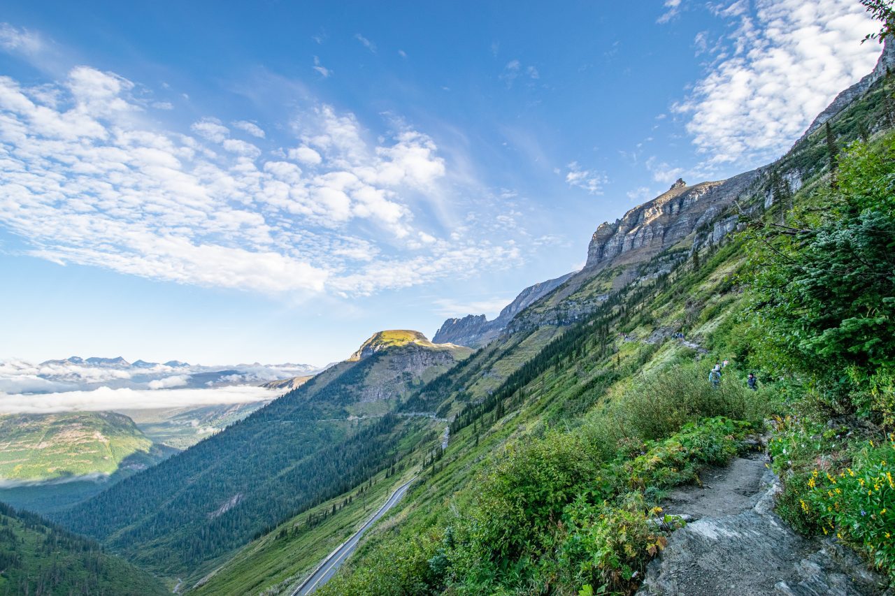
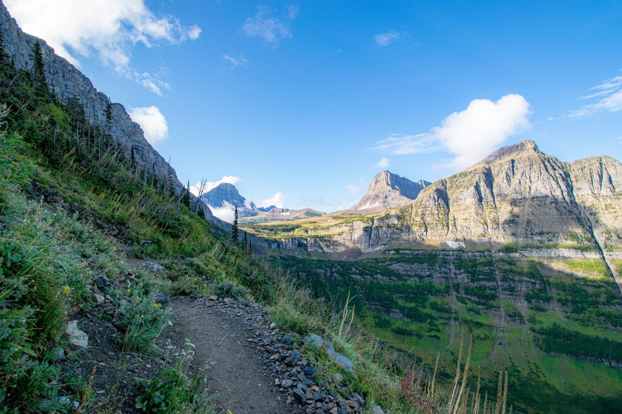
The Highline Trail winds around the cliff bands below the Continental Divide ridgeline at Glacier National Park. To one side tower imposingly steep peaks, to the other, a sheer dropoff to the Going-to-the-Sun Road. It’s an epic adventure, but there will be crowds and possible bear (and other animal) activity like the Hidden Lake Trail. However, the epic views and ability to utilize the park shuttles make the Highline Trail a Glacier “must-hike” for any semi-serious hiker.
There are two basic strategies to tame this trail, point-to-point from Logan Pass to The Loop or out-and-back from Logan Pass to Granite Park Chalet. If you don’t mind a 15-mile day, just hike the out-and-back. My knees complained about that even at my peak, so I usually opted to utilize the park shuttle and hike the point-to-point route.
If I could, I would park at The Loop and head uphill to the Granite Peak Chalet. This lets me tackle the grueling Granite Park Trail in the cool morning hours, plus, my knees like hiking uphill better than down. Also, the shuttle service works better at Logan Pass because it’s first-come, first-serve, and there’s a shortage of seats at The Loop stop. However, there’s very limited parking at The Loop, so I would just head on up to Logan Pass if there isn’t a space.
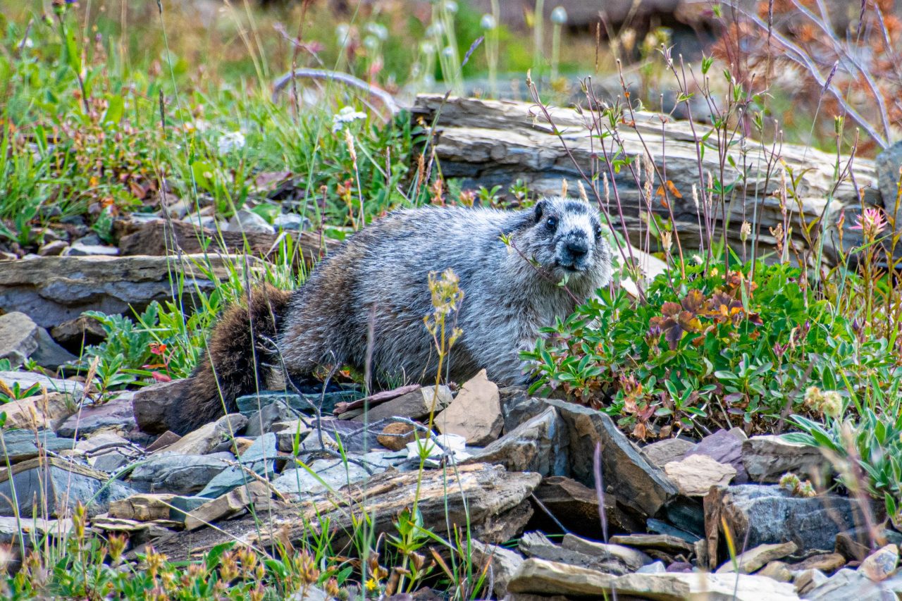
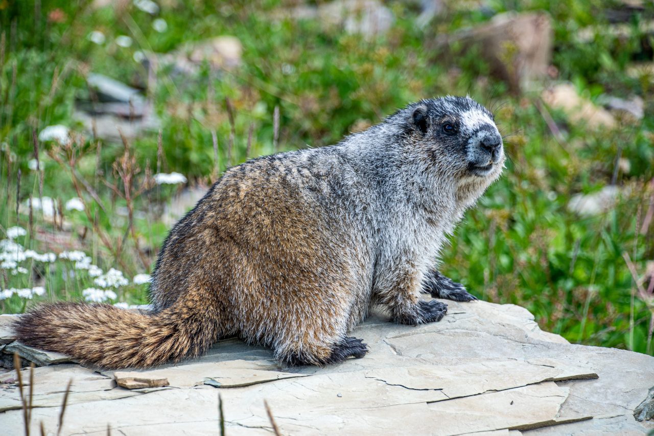
What I love about the Highline Trail is how the nature of the trail radically changes every couple of miles. The first little bit out Logan Pass is deceptively flat, then you round a corner and, BOOM! You’re teetering high above the Going-to-the-Sun Road. A couple of miles later, you reach the mid-trail highpoint of Haystack Butte Pass, which is an animal playground with bighorn sheep, mountain goats, and a plethora of marmots. As you work your way around the sheer cliffs of the Garden Wall, you might find wildflowers or huckleberries, depending on the season. As you approach the outpost of the Granite Park Chalet, you reach the junction with the Garden Wall Trail. This short and steep trail (1.8 miles out-and-back, 900′ gain) takes you to the ridgeline, where you can look down onto the Grinnell Glacier.
So you see, there are plenty of reasons for people to challenge the Highline Trail. Plus, if you have any gas left in your tank, you can tack on a trip down the Hidden Lake Trail once you reach Logan Pass. However, I would plan on doing this AFTER you finish the Highline Trail.
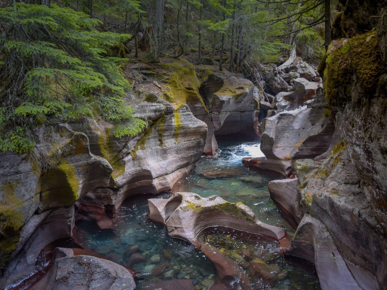
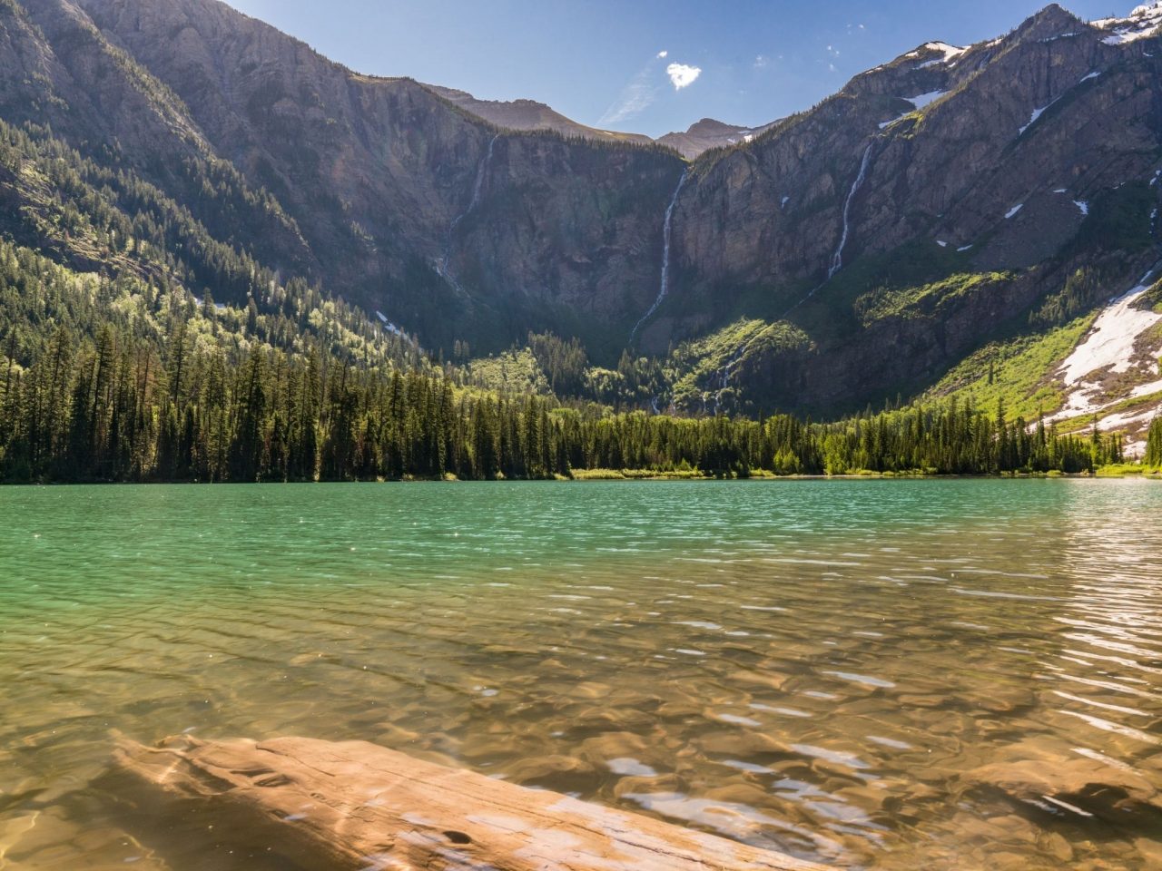
Avalanche Lake Via Trail of the Cedars (5.9 mile out-and-back, 750′ gain)
You need to take the Trail of the Cedars to get to Avalanche Lake, so you might as well make it a loop. However, you could cut about a 1/2 mile off the back end of this hike if you turn around once you reach Avalanche Lake. Then again, you could easily add a 1/2 mile in the beginning if you can’t find a parking spot. Either way, this moderate hike is, mile-for-mile, one of the prettiest hikes in the park. You start in the deep cedar forest and top out at an alpine lake. You also don’t have to drive too far up the mountain, so this hike opens early in the season and closes late.
This hike begins on the boardwalk and old-growth forest of the Trail of the Cedars. Once you cross the footbridge over Avalanche Creek, the trail climbs steadily on the hills above Avalanche Creek. It flattens out at the top, and as you crest the final ridge, you’re greeted with views of the brilliant blue water of Avalanche Lake. It’s only about a 50′ vertical descent to the lake, so there’s no reason not to continue down to the water’s edge. One of my favorite spots in the park is a small beach halfway down the lake.
Sperry Chalet Trail (13.6 mile out-and-back, 3,525′ gain)
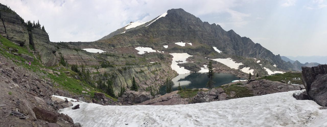
The Sperry Chalet Trail exists, and it’s in Glacier National Park. Maybe that’s not a ringing endorsement, but this brute is 13.6 mile / 3,525′ gain, and it doesn’t end with waterfalls, lakes, glaciers, or epic vistas. You do get to see the newly rebuilt Sperry Chalet, and it’s an objectively good hike, but the bar is set pretty high for hikes in Glacier National Park.
All that being said, there are plenty of good reasons to hike the Sperry Chalet Trail. You’ll have a lot more elbow room on the trail, and it’s easier to find parking, especially if you expand your search to McDonald Lodge parking. Also, there are things to do in Western Montana for every season, and the road is usually open to the McDonald Lodge all winter long. I have snowshoed up to the Sperry Chalet many times. Plus, if you’re a hiking machine, you might have gobbled the “classic” hikes and still want more. For you, 13.6 miles and 3,500′ of gain is a morning hike before lunch or at least second lunch.
Grinnell Glacier Trail (11.2 mile out-and-back, 2,175′ gain)
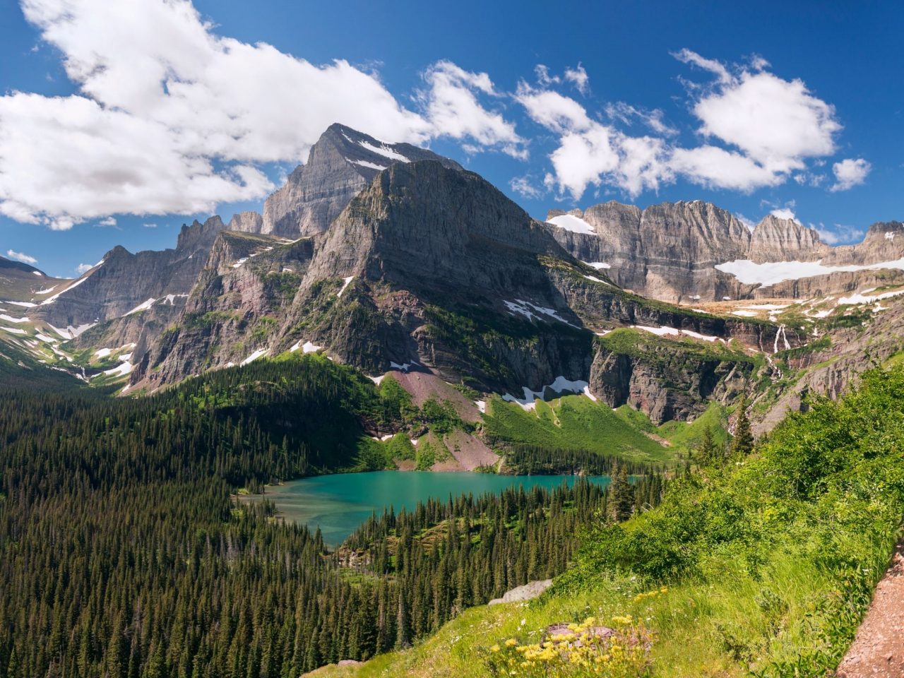
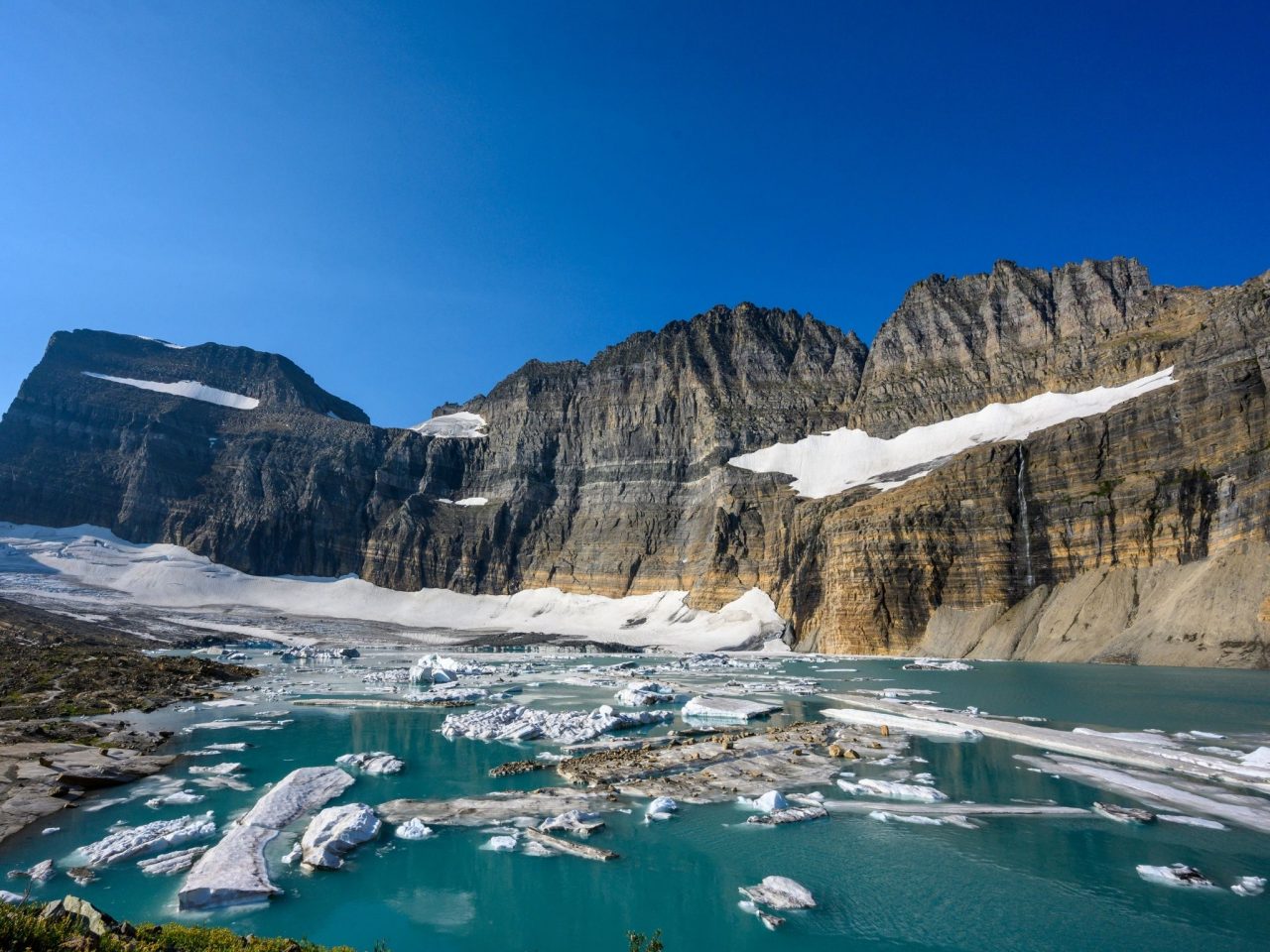
The Grinnell Glacier, or rather the glacier’s retreat, is what inspired me to move to Whitefish. I was not disappointed with that life choice and would encourage everybody who comes to Glacier NP to take a true glacier hike. This usually means driving across Logan Pass to East Glacier, which is either a long day or an overnight trip. The Grinnell Glacier Trail is a must-hike trail for East Glacier and the entire park because you’ll see glaciers, waterfalls, lakes, forests, wildlife, and incredible views along the way.
The first couple miles of this hike are relatively flat and easy as you pass along the shores of Swiftwater Lake and Lake Josephine. You can even cut 3.5 miles off the trip if you take the Many Glacier boat tour across the lakes, which might not save you any time with the logistics involved. Still, a boat tour reservation will guarantee that you have guaranteed entry to the Going-to-the-Sun Road corridor on the day of your scheduled tour, but you still need to book the reservation.
The magic happens once you pass Lake Josephine. You climb up the cliffs above Lower Grinnell Lake, which is usually ice-free by mid-summer. As you round the arete, you’re greeted with views of the Grinnell Falls, a cascade that drops almost one-thousand vertical feet into the headwaters of Grinnell Lake. A little bit farther, you see the Grinnell Glacier itself and start dropping down to the often ice-capped Upper Grinnell Lake.
Iceberg Lake Trail (9.3 mile out-and-back, 1450′ gain)
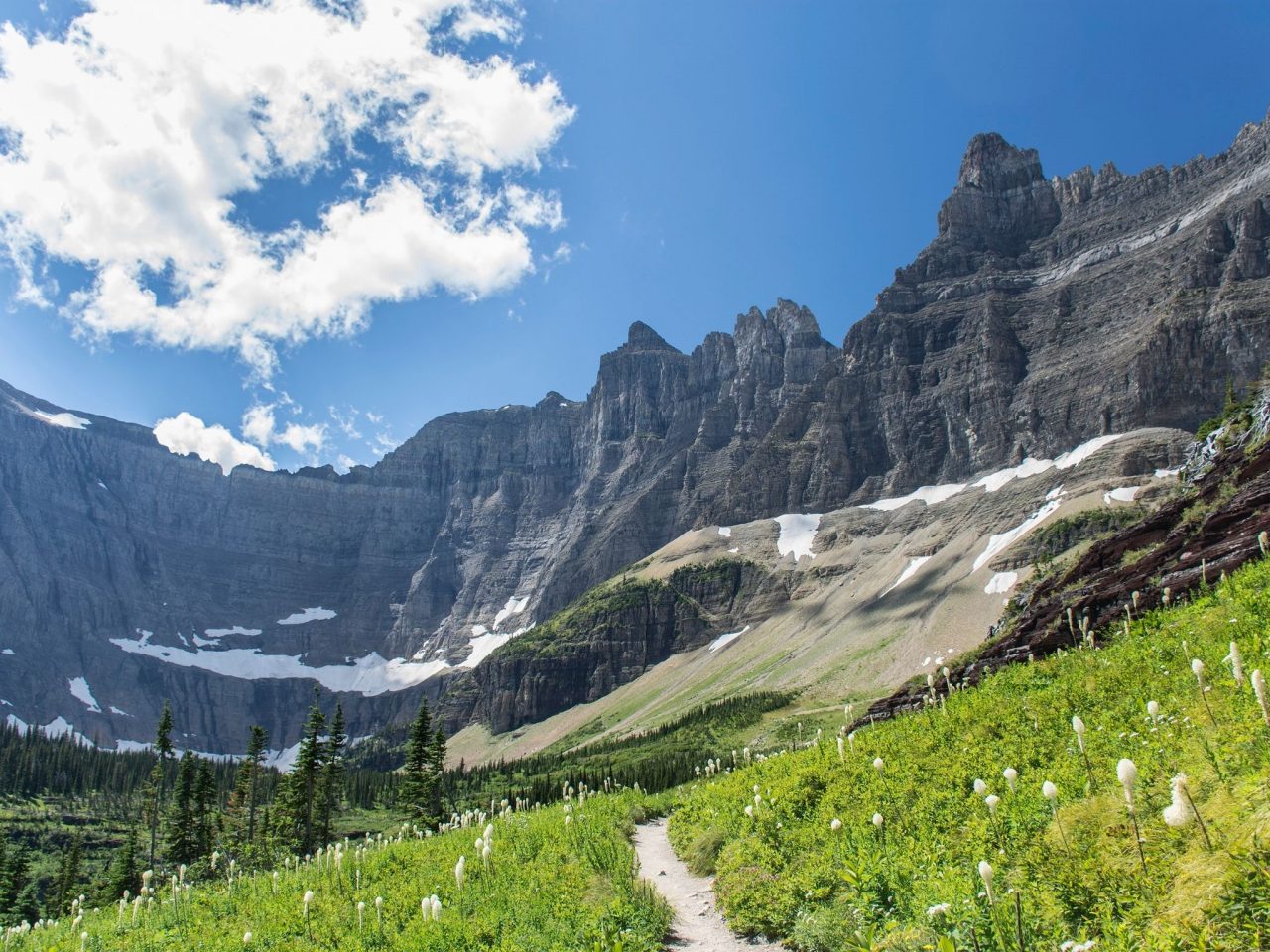
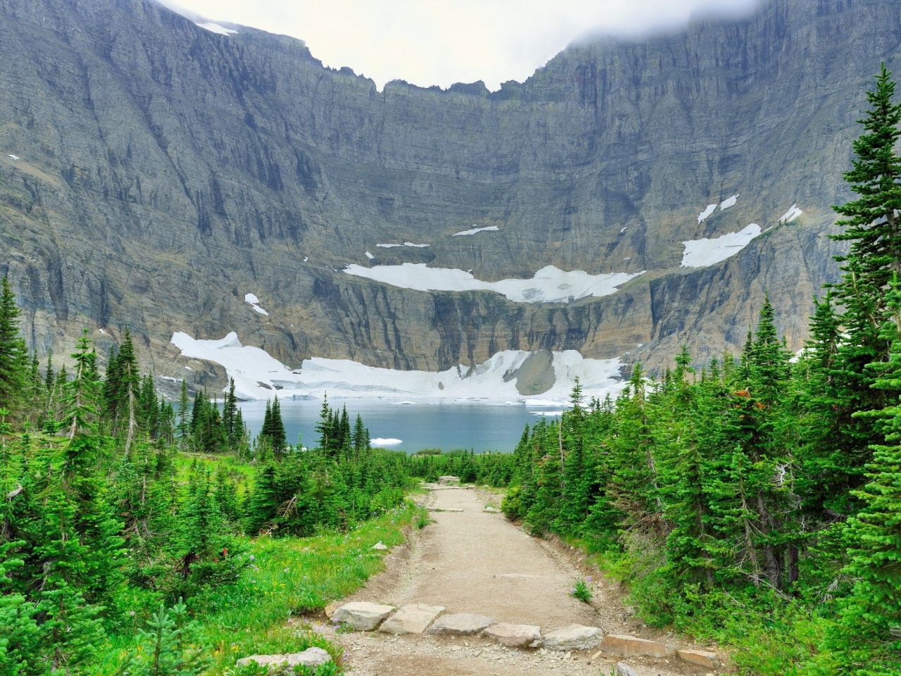
In many ways, the Iceberg Lake Trail is the companion trail to the Grinnell Glacier Trail. Both trailheads leave out of East Glacier and are less than 1/2 mile apart. Both trails climb to alpine lakes with superb views of glaciers. They are both deserving trails, and with the logistics of reaching East Glacier, you should try to do them both on your trip over the mountain.
The Iceberg Lake Trail starts with a bang as you climb 250′ in the first tenth of a mile. Don’t worry, this is the steepest part of the hike. About halfway up, you’ll reach the Ptarmigan Falls and Ptarmigan Trail. The largest cascade is about 30,’ and there’s ample shade, so this is a great spot for a break. Once you crest the final hill and see Iceberg Lake, you might find yourself stopping again, if for no other reason than to enjoy the view. Iceberg Lake sits in the shadows of Mount Wilbur, so the namesake ice floats in the alpine-blue water all summer long.
Hiking Tips for Glacier National Park
This section could make an entire post in and of itself, but I still wanted to include it here for now. So buckle up, here we go:
- Bring plenty of water
- Wear layers
- Bring hiking sticks (for both your knees and to click together as you walk around corners to alert bears you’re coming)
- Bear spray (mandatory on lots of hikes)
- Seal food in plastic containers or ziplock bags (remember to pack them out too)
- Pack a good daypack, include a headlight
- Check the weather before you go
- Leave early for busy trails
- Make a reservation with the Going-to-the-Sun Road ticketed entry
Final Thoughts on Hiking Glacier National Park
The hiking season in Glacier runs from March through October, with the lower hikes opening first and the weather being notoriously unpredictable late in the season. Going to the Sun Road is usually open to vehicle traffic all the way to the top by Father’s Day, but it varies year to year. You can always check the progress on the park’s current condition page.
Actually, you should go ahead and bookmark that page because it contains valuable links like:
- Current weather conditions
- Alerts for fires, road closures, animal activity, and more
- Tips for dealing with crowds
- Trail conditions
- Covid restrictions, like current mask mandates and the new Going-to-the-Sun Road ticked entry
- plus safety tips, leave no trace etiquette, and much more.
If you’re a hiking beast, you can probably complete these hikes on a week-long trip. However, even after living at the gateway to Glacier for four years, I still yearn to go back for one more hike on one more trail. It seems like the trails change with every season, from spring waterfalls to summer wildflowers and to the animals busily preparing in the fall for a high mountain winter. Glacier National Park changed my world, and I know it can do the same for you. Happy hiking .
Like it? Pin it for later on Pinterest!


 Hi! We are Jenn and Ed Coleman, and together we are Coleman Concierge. It is our goal to inspire you to get out, expand your world, and to seek adventure, even in your own backyard.


